


 |
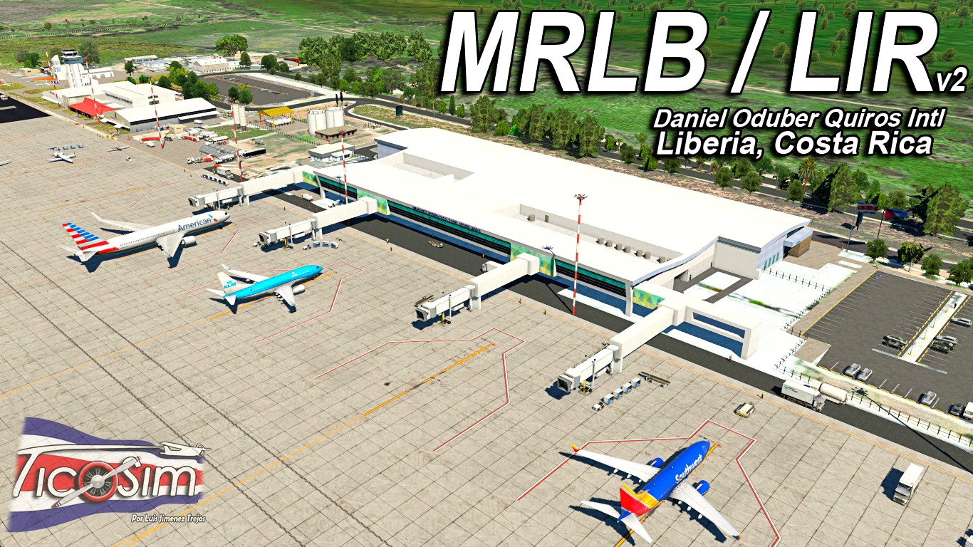
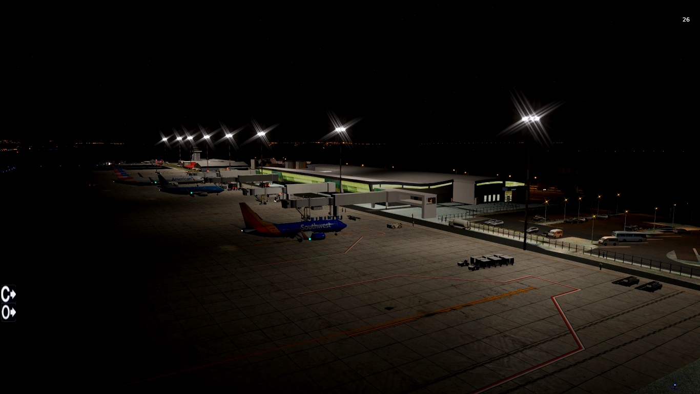
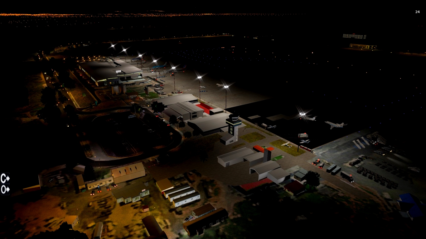
| Scenery of Daniel Oduber Quiros Intl / Liberia, Costa Rica. v2
MRLB / LIR
Scenery made by Luis Jimenez Trejos (Tico Sim) for Xplane 11. (and 12)
If you would like to donate you can by PayPal, thanks to support Tico Sim! I appreciate it.
REQUIERES THE FOLLOW LIBRARIES:
1-OpensceneryX library
2-RA Library:
3-The Handy objects:
4-Mister X (REQUIERES LAST VERSION April 3rd)
5- 3D People Library:
6- SAM Plugin:
[Airport]
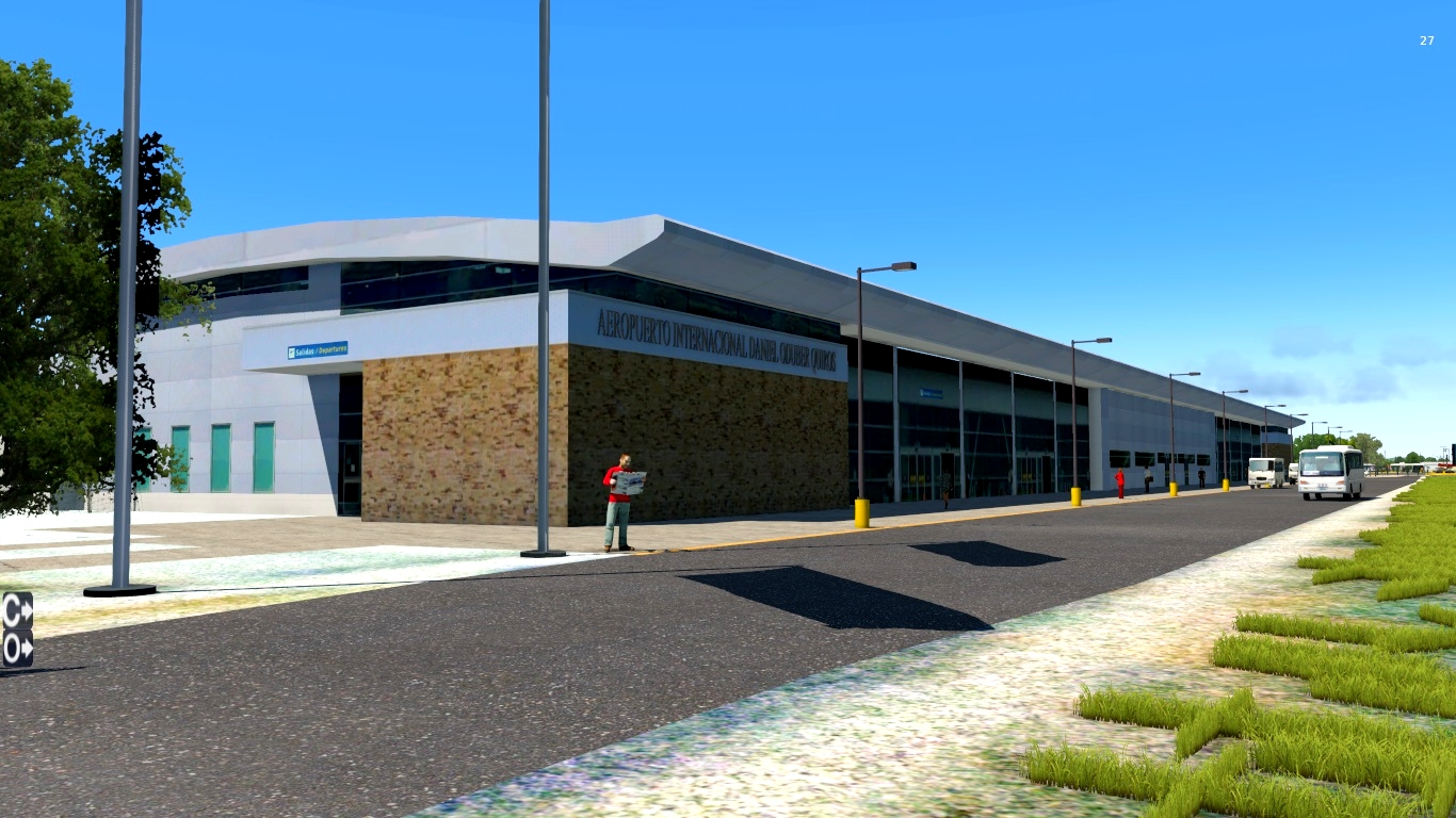
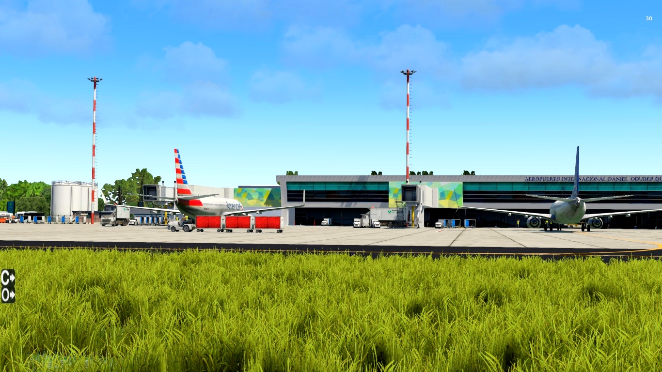
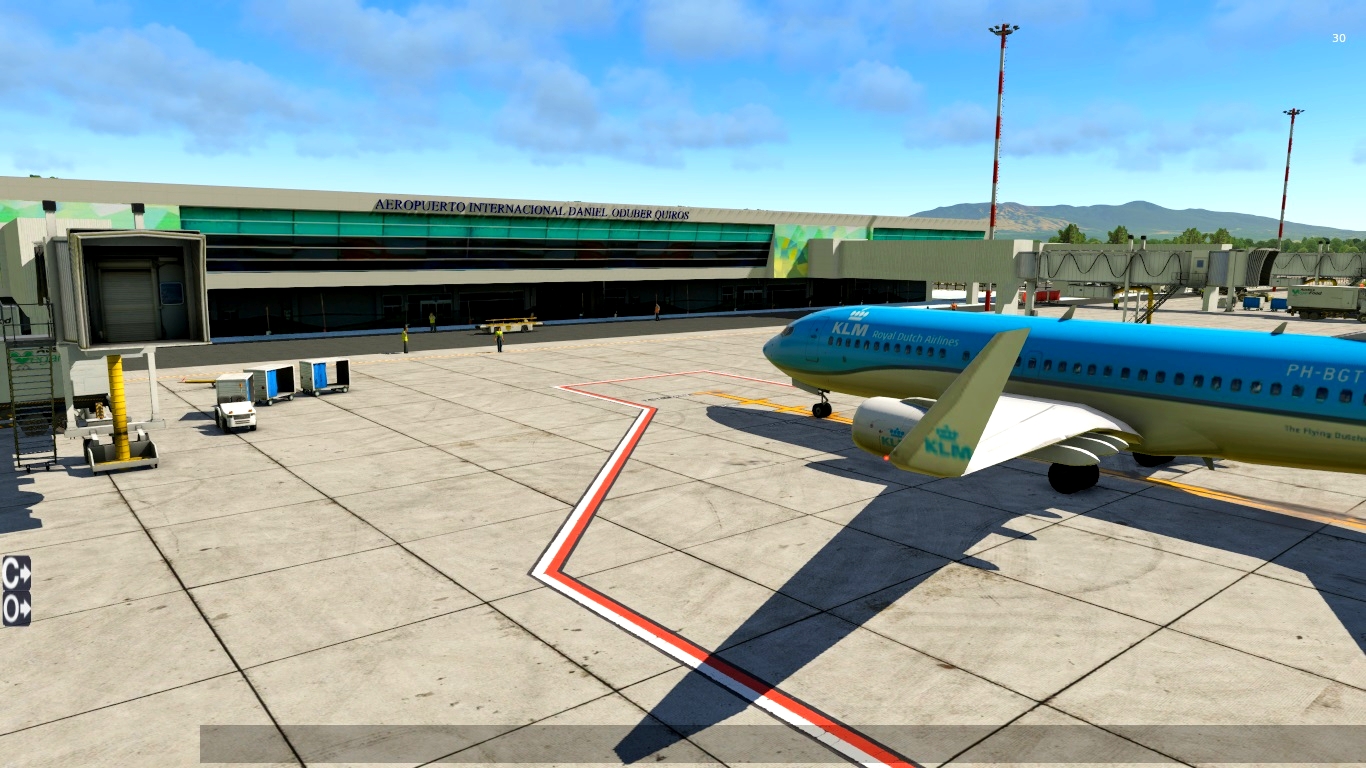
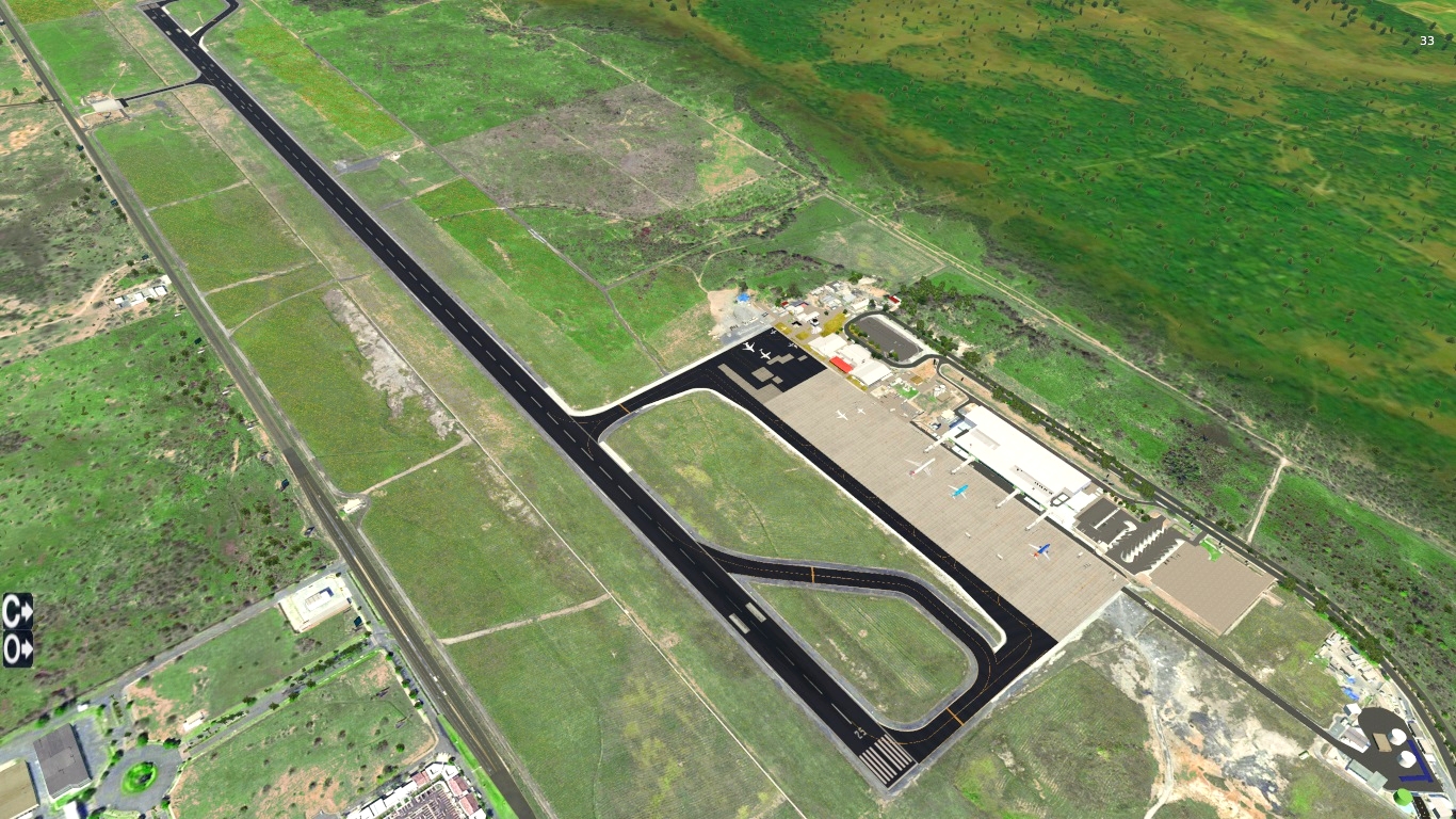
Daniel Oduber Quirós International Airport (IATA: LIR, ICAO: MRLB) also known as Liberia International Airport,
is one of four international airports in Costa Rica.
It serves especially as a tourism hub for those who visit the Pacific coast and western Costa Rica.
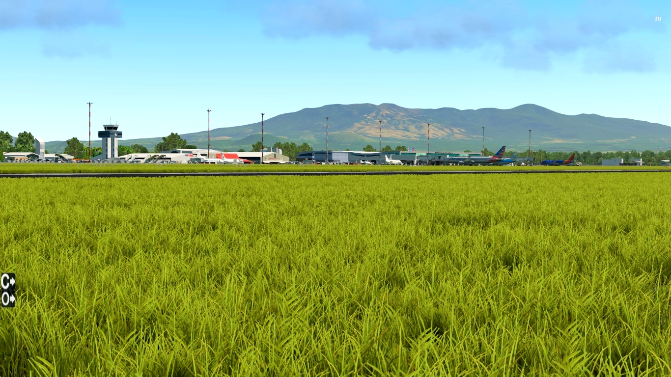
The airport is 11 kilometres (7 mi) west-southwest of the city of Liberia in Guanacaste Province.
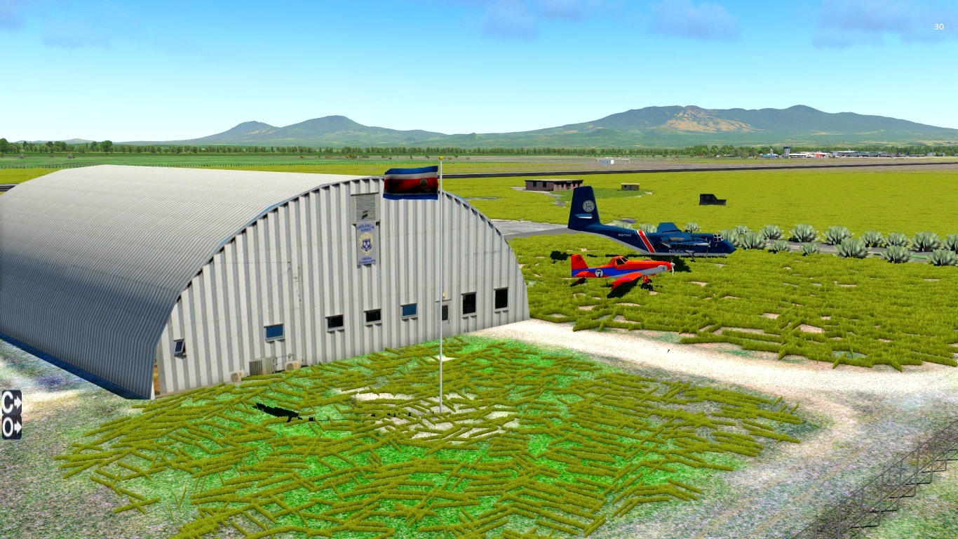
The Liberia VOR-DME (Ident: LIB) is located on the field
-Runway Direction: 07/25
-Length: 2,750m / 9,022ft
-Surface:Asphalt
[Installation]
Simply drop on "Custom Scenery" folder in Xplane 11 base folder
You can support our project via PayPal, I appreciate it.:
https://www.paypal.com/donate?hosted_button_id=78RMPYFDVDRE8
NOTE: The scenery uses "SAM Jetways" from Mister X library
Follow us
-Facebook : https://www.facebook.com/TicoSim
Contact
[email protected]
1-Now include sam.xml for make the gates work with SAM Plugin.*
Thanks to Raf_Liveries for make this file for the Scenery so that we can all enjoy functional GATES with SAM Pluguin.
2-Minor fixes

Γίνετε ο πρώτος που θα σχολιάσει.